Tag: rainfall

  • December Rainfall in Cyprus Exceeds Monthly Average

    December Rainfall in Cyprus Exceeds Monthly Average

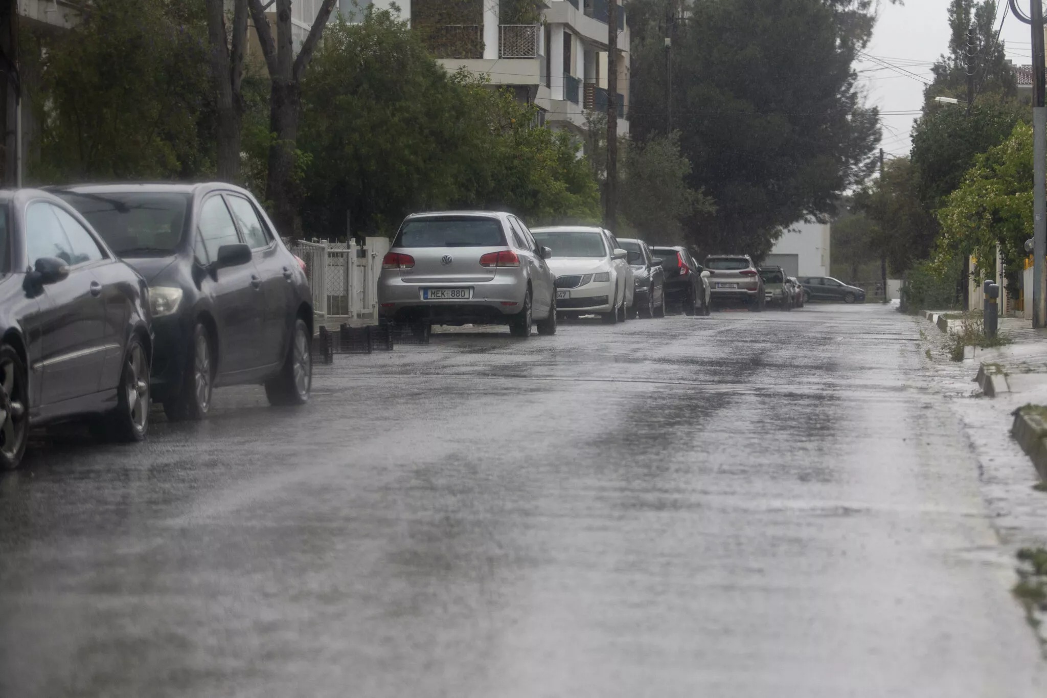
    december rainfall — Cyprus recorded rainfall at 116% of the normal monthly average during December, according to preliminary data released by the Meteorological Service on Friday.

    • Cyprus recorded rainfall at 116% of the normal monthly average during December, according to preliminary data released by the Meteorological Service on Friday.
    • In Nicosia, the Athalassa station measured 83.3 millimetres, which is 144% of normal, while Athienou reported 88.1 millimetres, also at 144% of the average.

    The average total rainfall from 1 December until 8:00 am on 1 January reached 122.8 millimetres in the free areas of the Republic, surpassing the usual December rainfall of 105.6 millimetres. This increase in precipitation highlights a significant weather pattern affecting the region.

    December rainfall: Exceptional Rainfall Totals Across the Island

    In the context of the ongoing hydrological year, which commenced on 1 October, Cyprus has received a total of 159.2 millimetres of rain by 1 January. This figure represents 83% of the normal rainfall expected for this timeframe, which is 191.6 millimetres.

    Notable Regional Variations

    Not all areas experienced the same levels of rainfall. The Polis Chrysochous station stood out with an impressive 219.2 millimetres, translating to 220% of the normal monthly average for that specific location. Similarly, the Stavros tis Psokas area recorded 249.3 millimetres, equivalent to 154% of the expected normal.

    In Nicosia, the Athalassa station measured 83.3 millimetres, which is 144% of normal, while Athienou reported 88.1 millimetres, also at 144% of the average.

    January’s Early Rainfall

    As January began, the early indicators of rainfall have been minimal, with only 0.1 millimetres recorded between the first day of the month and 8:00 am on Friday. This stark contrast to December’s figures raises questions about the weather patterns moving forward.

  • Yellow weather — Yellow Weather Warning Issued for Storms and Gale-Force Winds Over New Year Period

    Yellow weather — Yellow Weather Warning Issued for Storms and Gale-Force Winds Over New Year Period

    Yellow weather: Severe Weather Alert for Festive Period

    yellow weather — A yellow weather warning has been issued for storms and gale-force winds, effective from 22:00 on Tuesday, December 30, to 22:00 on December 31. The Department of Meteorology has advised residents to prepare for a challenging weather system as the island braces for heavy rain and strong winds just before New Year’s Eve.

    Forecast Details

    The forecast indicates a mixture of rain, isolated storms, and very strong winds, with localised gusts potentially reaching severe intensity, classified as force 6-7 on the Beaufort scale. The Department has highlighted that this weather system will particularly impact coastal and mountainous regions, where the effects are likely to be felt most acutely.

    Rainfall Expectations

    Rainfall totals are anticipated to exceed 55 mm within a 24-hour period in some areas. Residents in vulnerable locations should take precautions, as the combination of heavy rain and strong winds could lead to hazardous conditions, including possible flooding.

    Storm Impact and Safety Recommendations

    The Department of Meteorology recommends that individuals and businesses in affected areas prepare for the possibility of power outages and disruptions to transportation. It is advisable to secure loose outdoor items and avoid unnecessary travel during the height of the storms. Furthermore, those living in flood-prone areas should remain vigilant and keep emergency kits ready.

    Potential for Hail

    In addition to rain and wind, hail is expected during some of the storm events. This could add another layer of risk, particularly for outdoor activities and travel. Residents are urged to stay indoors during severe weather and monitor updates from local authorities.

    Ongoing Monitoring

    The Department of Meteorology will continue to monitor the situation closely and provide updates as necessary. Residents are encouraged to stay informed through official channels and heed any advisories issued by the authorities.

    Looking Ahead

    As the New Year approaches, the combination of storms and gale-force winds serves as a reminder of the unpredictable nature of winter weather. Community leaders and emergency services are on alert to respond to any incidents that may arise from this weather warning.

    With the festive season in full swing, it is crucial for the public to prioritise safety and remain informed about the evolving weather conditions. The Department of Meteorology emphasises that preparedness is key to navigating the challenges posed by severe weather.

  • Paphos rainfall: Paphos Experiences Record Daily Rainfall Amid Storm Byron

    Paphos rainfall: Paphos Experiences Record Daily Rainfall Amid Storm Byron

    paphos rainfall — paphos rainfall — Paphos has experienced its highest daily rainfall in over a century, with 113.11mm recorded during the recent weather event attributed to storm Byron. According to the meteorological department, this figure marks the most significant rainfall since records began in 1916.

    The torrential downpour occurred over the weekend, as the island faced the effects of a barometric low that brought intense weather conditions. The Polis Chrysochous weather station reported that the average rainfall for December in the area is typically around 99.8mm, based on historical data spanning three decades from 1961 to 1990.

    Further highlighting the impact of storm Byron, the Kathikas station in Paphos registered 67.1mm of rain, making it the third-highest daily rainfall recorded for December since 1977. Only 2001 and 2008 experienced greater rainfalls of 99.7mm and 74.5mm, respectively.

    Across the Paphos district, several weather stations reported varying levels of rainfall, with totals between 15mm and 57mm during the storm. As the rain continued, the met department noted that from December 5 to 7, the highest amounts were concentrated in the western and southwestern regions, along with higher mountainous areas. The average rainfall for this three-day period reached 35.1mm.

    The dramatic weather has drawn attention not only for its intensity but also for its rarity, prompting discussions about climate patterns and the potential for more unusual weather events in the future. Residents and officials alike are now contemplating the implications of such extremes on local infrastructure and the environment.